
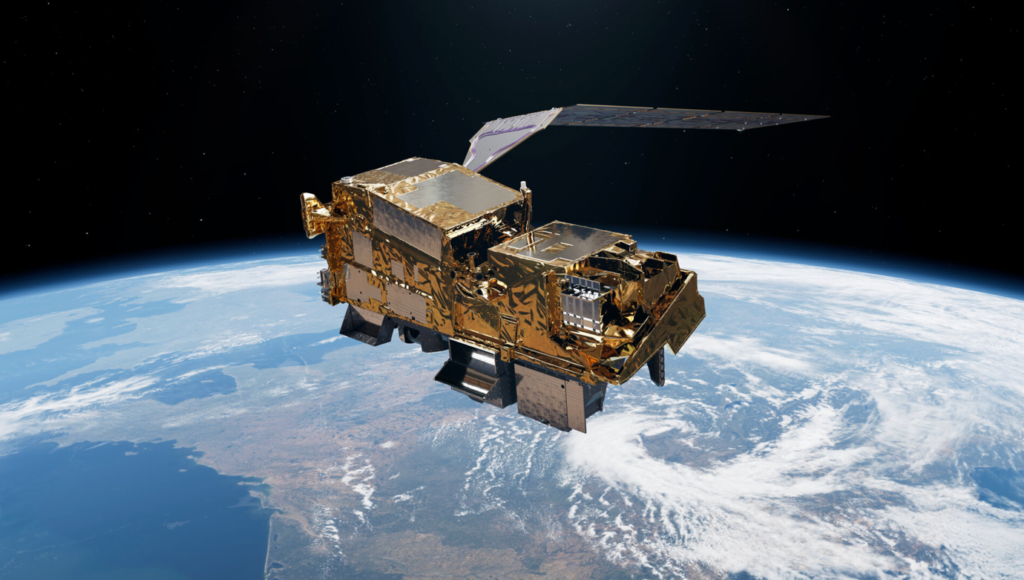
Europe’s first MetOp Second Generation weather satellite, MetOp-SG-A1, which hosts the Copernicus Sentinel-5 mission, launched on an Ariane 6 rocket from the European spaceport in French Guiana © Arianespace
On 13 August 2025, Europe commenced a new epoch of meteorological observation with the successful launch of MetOp-SG-A1, the inaugural satellite in the MetOp Second Generation series. Launched into orbit by an Ariane 6 rocket from Europe’s Spaceport in Kourou, French Guiana, this 4-ton polar-orbiting satellite is poised to substantially improve weather forecasting, climate monitoring, and atmospheric science across the continent and beyond.
MetOp-SG-A1, the first satellite of the EUMETSAT Polar System – Second Generation (EPS-SG) programme, is equipped with an advanced array of instruments, including the Copernicus Sentinel-5 payload. This satellite, positioned in a polar orbit roughly 800 kilometres above Earth, will provide high-resolution, timely observations of atmospheric gases, cloud cover, temperature, and humidity. This data is anticipated to enhance numerical weather prediction, support early warning systems for severe weather, and augment our comprehension of climate change amid increasing meteorological obstacles.
Data from the inaugural MetOp satellites have been the primary contributor to improving the precision of European weather forecasts for durations spanning 12 hours to 10 days. It is now time for the MetOp-Second Generation mission, abbreviated as
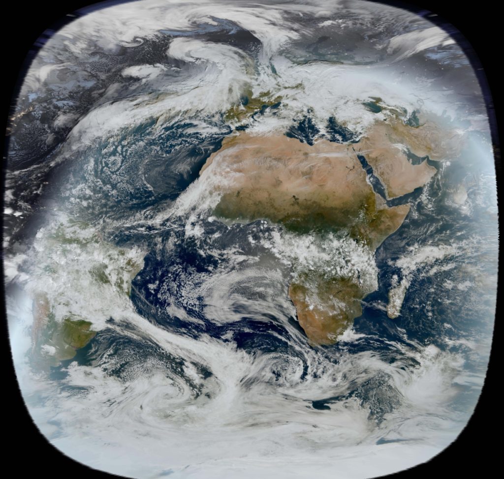
This image was captured by the FCI instrument on EUMETSAT’s Meteosat Third Generation satellite (MTG) on 4 December 2024.The Meteosat weather satellites provide imagery for the early detection of fast-developing severe weather, weather forecasting and climate monitoring © Eumetsat.in
MetOp-SG, to assume responsibility—not only to maintain the continuity of global observations from polar orbit for weather forecasting and climate analysis, but to enhance these capabilities.
Weather influences numerous aspects of daily life, affecting public health, well-being, and the economy, while the effectiveness and productivity of critical sectors such as agriculture, business, commerce, manufacturing, transportation, and maritime operations depend significantly on precise forecasts.
With the escalation of climate change, extreme weather events are increasingly frequent and intense. Given the escalating unpredictability of weather patterns, accurate and prompt forecasting is now more essential than ever.
Data collected by the initial MetOp series of three satellites since 2006 have significantly enhanced the precision of numerical weather prediction. These satellites orbit the Earth from pole to pole as the planet rotates beneath them, encompassing the globe approximately every 24 hours. Moreover, their comparatively low orbital height allows for the acquisition of highly detailed observations of diverse atmospheric variables.
This capability is enhanced by Europe’s primary meteorological initiative, the Meteosat series, which functions in geostationary orbit. Situated around 36,000 kilometres above the equator, these satellites maintain a stationary position in relation to Earth’s rotation. This permanent high-altitude geostationary orbit enables continuous observation of a significant area of Earth’s surface to monitor rapidly changing weather systems.
The presence of both types of meteorological missions in orbit enhances the efficacy of data transmission for weather forecasting, predictive modelling, and climate analysis by providing diverse perspectives on Earth.
In contrast to the original MetOp series, which consisted of three individual spacecraft, the new MetOp-SG mission includes three sequential pairs of satellites.
Each MetOp-SG pair consists of an A-type and a B-type satellite, each equipped with distinct yet complementary instruments of exceptional capability.
The package comprises ten distinct instruments spanning both satellites, some derived from the acoustic legacy of the initial MetOp series, while others are entirely novel.
The A-type satellites are equipped with six instruments: a next-generation infrared atmospheric sounder, a microwave sounder, a multispectral imaging radiometer, an innovative multiviewing, multichannel, multipolarisation imager, a radio occultation sounder (also present on the MetOp-B satellites), and the Copernicus Sentinel-5 spectrometer.
The type-B satellites are equipped with five instruments: a scatterometer, a radio occultation sounder, an innovative microwave imager, a revolutionary ice-cloud imager, and an Argos-4 data collection system.
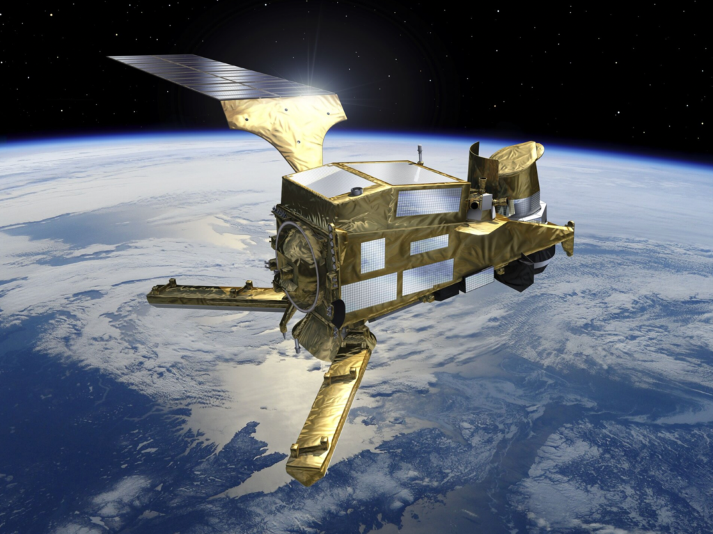
Equipped with extensive arrays of instrumentation, both variants are sizable satellites, each approximately 4000 kg, akin to a small truck.
The MetOp-SG mission not only guarantees the continuation of polar orbit data for numerical weather prediction, weather forecasting, and climate analysis, but also enhances the accuracy and resolution of the original MetOp mission while including additional measurements into its outputs.
The MetOp-SG satellites, collaborating and positioned 90 degrees apart, deliver high-resolution observations of temperature, precipitation, clouds, winds, sea ice, aerosols, soil moisture, volcanic dust, air pollution, and numerous additional parameters.
This data is utilised not just for meteorological forecasting and climate studies but also for operational services pertaining to atmospheric chemistry, oceanography, and hydrology.
The operational lifespan of each satellite in orbit is 7.5 years, with successive satellites of each series deployed at seven-year intervals to attain a cumulative mission duration exceeding two decades.
The inaugural MetOp-SG-A was inaugurated on 13 August 2025, with the first MetOp-SG-B scheduled for 2026.
Similar to the first MetOp mission, MetOp-SG is an integral component of the Joint Polar System, a collaborative initiative between Europe and the United States, aimed at providing meteorological data from polar orbit at no cost to customers globally. Europe oversees the ‘mid-morning orbit,’ while the United States manages the ‘afternoon orbit.’
The mission is a result of the enduring collaboration between ESA and Eumetsat, with ESA tasked with the design and construction of the satellites, while Eumetsat secures the launch service, develops the ground segment, operates the satellites, and supplies data to the global meteorological user community.
The French Space Agency CNES is supplying two instruments, while the German Aerospace Centre DLR is providing one. The European Commission is supplying the Sentinel-5 sensor via Copernicus.
The primary contractors for the mission are Airbus Defence and Space in Toulouse, France, for the A-type satellites, and Airbus Defence and Space in Friedrichshafen, Germany, for the B-type satellites. The initiative unites over 110 organisations through 280 contracts throughout 16 European nations, with more than 2000 individuals contributing everyday.
